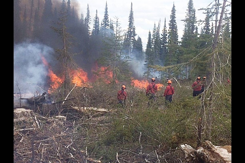
The B.C. Wildfire Service has been conducting a controlled burn near the base of Mount Horetsky, approximately 39 km northwest of Fort Babine.
A collaborative project between the Lake Babine Nation, Pacific Inland Resources, the Bulkley Valley Research Centre and the B.C. Wildfire Service, these prescribed burns will remove slash on 58 hectares of recently harvested land.
In addition to reducing fuel load on the landscape, the objective of this prescribed burn is to assess the value and role of broadcast burning in stimulating berry plant growth and improving grizzly bear habitat.
Post-burn,